Your watch has offline maps. Check the detour before the trip.
A downloaded route, a detailed map and automatic rerouting are three separate capabilities.
 SmartWearGuide · 2026-10-12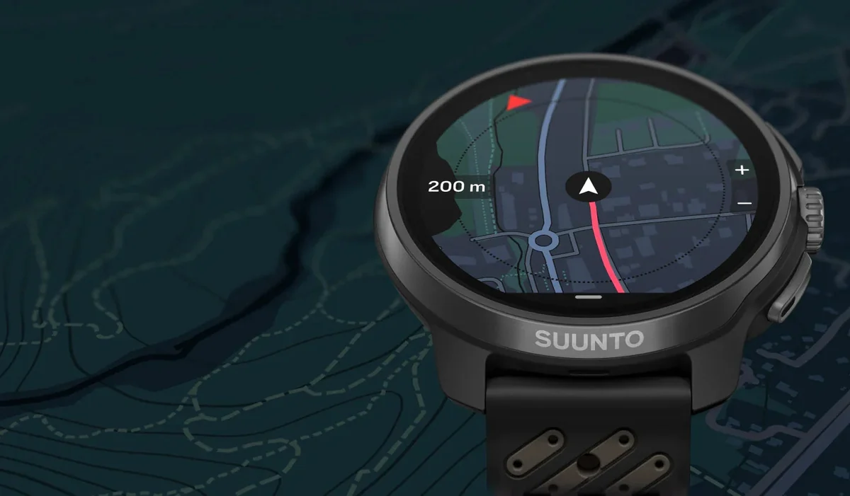
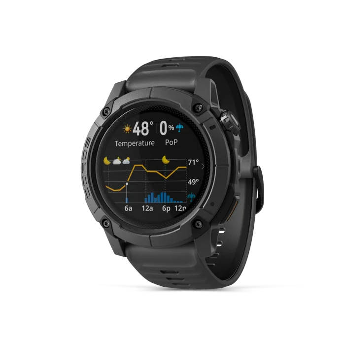
Julia Clarke’s October 2025 Wareable test of the COROS NOMAD ran into a useful obstacle: the planned descent from a familiar hill was closed for maintenance. She found another way using the watch’s maps, but it kept warning that she had left the original route. It did not automatically build a replacement course. Downloading the area had been straightforward in the app; later GPX routes loaded quickly too. That experience shows why a colourful background map and a route line do not settle what the watch does when the path changes.[1]
Craig Randall’s April 2026 iRunFar review, after four months with the Forerunner 970, was more enthusiastic about Garmin’s integrated navigation. He used a system combining offline maps, GPX courses, turn directions and off-course alerts, with round-trip route generation also available. He appreciated trail-specific climb screens and the built-in light. There was still an initial learning curve. The appeal is the collection of actions around the map, rather than expecting a small screen to make a complicated trail junction self-explanatory.[2]
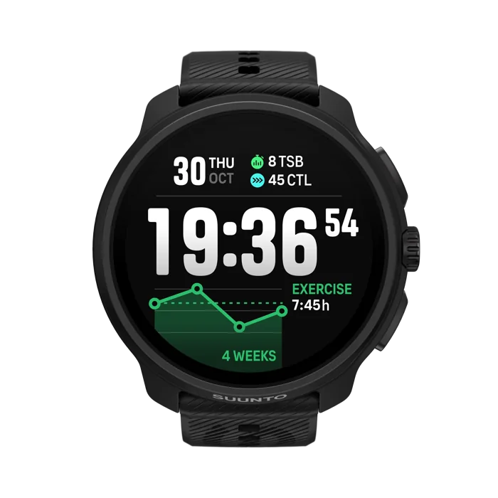
Nick Harris-Fry tested the Suunto Race 2 for two weeks in September 2025. He liked the brighter screen, faster interface and free downloaded maps, with routes created in the phone app and followed on the watch. Using the most accurate GPS setting and an always-on screen, he obtained seven to eight days between charges while running daily. Those conditions make the endurance result useful; they do not establish the runtime for an expedition spent continuously navigating.[3]
Suunto’s current manual requires a wireless-network setup through its app and a completed map download before offline use. Selecting maps Off leaves only the breadcrumb trail. Turn the phone’s connectivity off during a local practice walk and inspect an adjoining area, not just the planned route. Check zooming, panning and the return option before they are needed under pressure. The downloaded area must cover possible detours as well as the intended finish.[4]
Software has moved since the early reviews. Suunto’s April 2026 notes added track-back navigation and more map labels; COROS lists later changes through September 2026. These manufacturer notes describe additions, not new independent tests of the whole route experience. For a remote trip, choose the navigation behaviour you understand, allow battery margin for the actual settings, and keep a separate navigation fallback. A familiar practice detour is a better buying demonstration than a tidy map at the shop counter.[5] [6]